Drone Photography in Puako
Drone Photography in Puako
Puako, Hawaii (Big Island)
⏱ 90 minutesFree · works in the app too
Download App
One account for the app and the web — save venues, follow locals, and sign in on mobile.
Download App Download App Google PlayAbout this experience
Drone Photography in Puako is a guided aerial photography session along the Puako coastline on Hawaii's Big Island. Participants operate their own drones to capture the rugged lava fields, turquoise shallows, and ancient fishponds from above. The session includes a pre-flight briefing on local airspace rules and a live review of your footage.
What to expect
- 90-minute session with a certified drone pilot who provides a safety briefing and airspace guidance for the Puako area.
- Access to a launch point near the Puako Petroglyph Preserve, allowing aerial views of the coastal trail and lava rock formations.
- Instruction on framing shots of the shoreline, including the contrast between black lava and clear water.
- Suitable for drone pilots of all levels; you must bring your own drone and remote controller.
- Includes a post-flight review of your recorded footage with tips on editing and colour correction.
- Limited to small groups of four participants to ensure individual attention and clear airspace.
You Might Also Like

Drone Photography in Hawaii (Big Island)

Drone Photography
Wilde Sparrow Photography Co.

Drone Photography
Jon Bodhi Films & Photography
74-5617 Pawai Pl, Kailua-Kona, HI 96740, Estados Unidos

Drone Photography
Professional Real Estate Photography

Drone Photography
Hawaii Pacific Drone Solutions
2800 Woodlawn Dr Ste 162, Honolulu, HI 96822, Estados Unidos

Drone Photography
East Hawaii Creative

Drone Photography
Hawai‘i Life Photography & Media
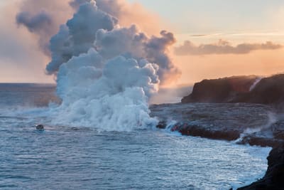
Drone Photography
A1 drone service
75-5454 Mamalahoa Hwy, Holualoa, HI 96725, Estados Unidos

Drone Photography
Big Island Photography by Zander Lucero
Drone Photography
Capture Films Hawaii Video Production
81-6641 Mamalahoa Hwy, Kealakekua, HI 96750, Estados Unidos
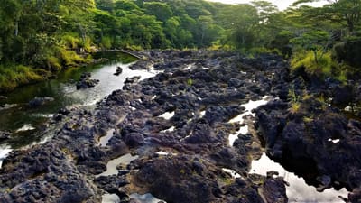
Drone Photography
Hawaii Aerial Productions
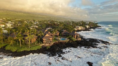
Drone Photography
Drone King Hawaii
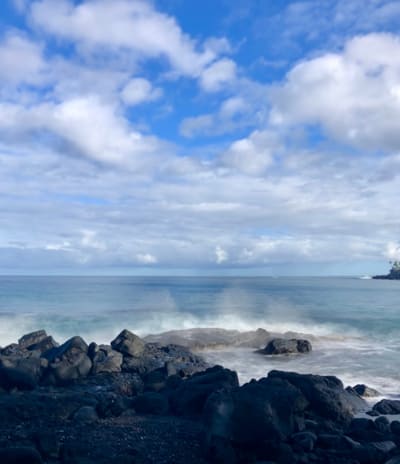
Drone Photography
Keauhou
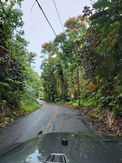
Drone Photography
Papaikou
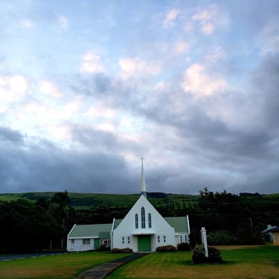
Drone Photography
Naalehu
Drone Photography
Kurtistown
Hulaview
0US
Is this your business?
This page currently features Hulaview. Business listings are managed in the IslandSpots app — download it to take control of your listing.
Manage in the App