
Drone Photography in Honokaa
Honokaa, Hawaii (Big Island)
⏱ 2 hoursFree · works in the app too
Download App
One account for the app and the web — save venues, follow locals, and sign in on mobile.
Download App Download App Google PlayAbout this experience
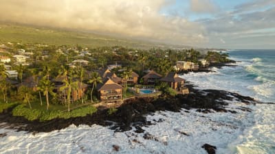
Drone Photography in Honokaa is a guided aerial photography session in the rural town of Honokaa on Hawaii's Big Island. The activity takes you to elevated launch points overlooking the Hamakua Coast, where you capture the town's historic storefronts, surrounding sugarcane fields, and the Pacific coastline. A certified drone pilot provides flight instruction and camera settings for your own drone or a provided unit.
What to expect
- Session duration is 2 hours, including a 20-minute pre-flight briefing on local airspace rules and wind conditions.
- Includes a rental drone (DJI Mavic 3) with a 4/3 CMOS sensor, two batteries, and a 128GB memory card for your footage.
- You fly from two private ranch overlooks: one at 800 feet elevation facing Waipio Valley, and another near the Honokaa Sugar Mill ruins.
- The pilot edits a 3-minute highlight reel of your best shots, delivered via a secure download link within 48 hours.
- Suitable for beginners and intermediate pilots; no FAA licence is required as the pilot maintains visual line-of-sight and remote ID compliance.
- Maximum group size is 4 participants, ensuring individual flight time of at least 25 minutes per person.
Rating
2 reviews
You Might Also Like

Drone Photography in Hawaii (Big Island)

Drone Photography
Wilde Sparrow Photography Co.

Drone Photography
Jon Bodhi Films & Photography
74-5617 Pawai Pl, Kailua-Kona, HI 96740, Estados Unidos
Drone Photography
Professional Real Estate Photography
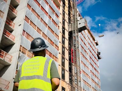
Drone Photography
Hawaii Pacific Drone Solutions
2800 Woodlawn Dr Ste 162, Honolulu, HI 96822, Estados Unidos

Drone Photography
East Hawaii Creative

Drone Photography
Hawai‘i Life Photography & Media
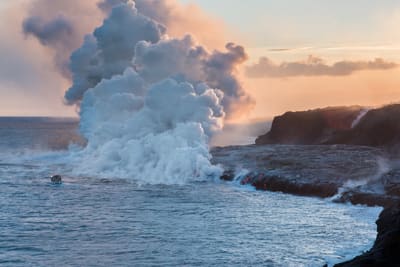
Drone Photography
A1 drone service
75-5454 Mamalahoa Hwy, Holualoa, HI 96725, Estados Unidos

Drone Photography
Big Island Photography by Zander Lucero
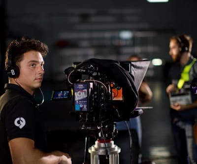
Drone Photography
Capture Films Hawaii Video Production
81-6641 Mamalahoa Hwy, Kealakekua, HI 96750, Estados Unidos
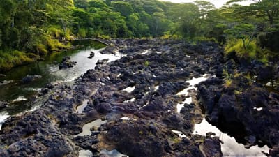
Drone Photography
Hawaii Aerial Productions
Drone Photography
Drone King Hawaii
Drone Photography
Keauhou
Drone Photography
Papaikou
Drone Photography
Naalehu
Drone Photography
Kurtistown
Hawaii Aerial Visions LLC
Pāhoa, HI 96778, Estados Unidos
Is this your business?
This page currently features Hawaii Aerial Visions LLC. Business listings are managed in the IslandSpots app — download it to take control of your listing.
Manage in the App