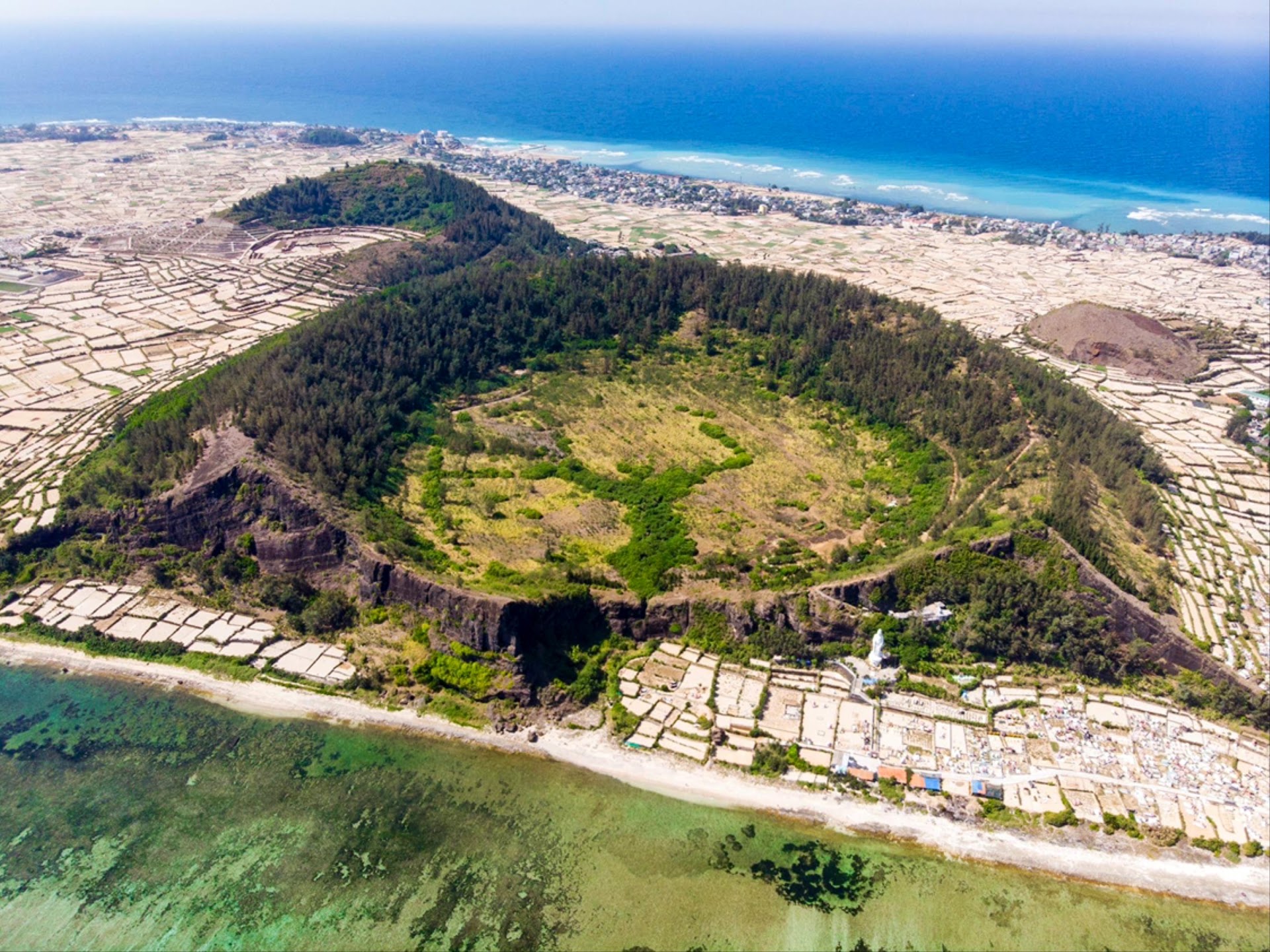
Drone Photography in Ly Son Town
Ly Son Town, Lý Sơn
⏱ 90 minutesFree · works in the app too
Download App
One account for the app and the web — save venues, follow locals, and sign in on mobile.
Download App Download App Google PlayAbout this experience
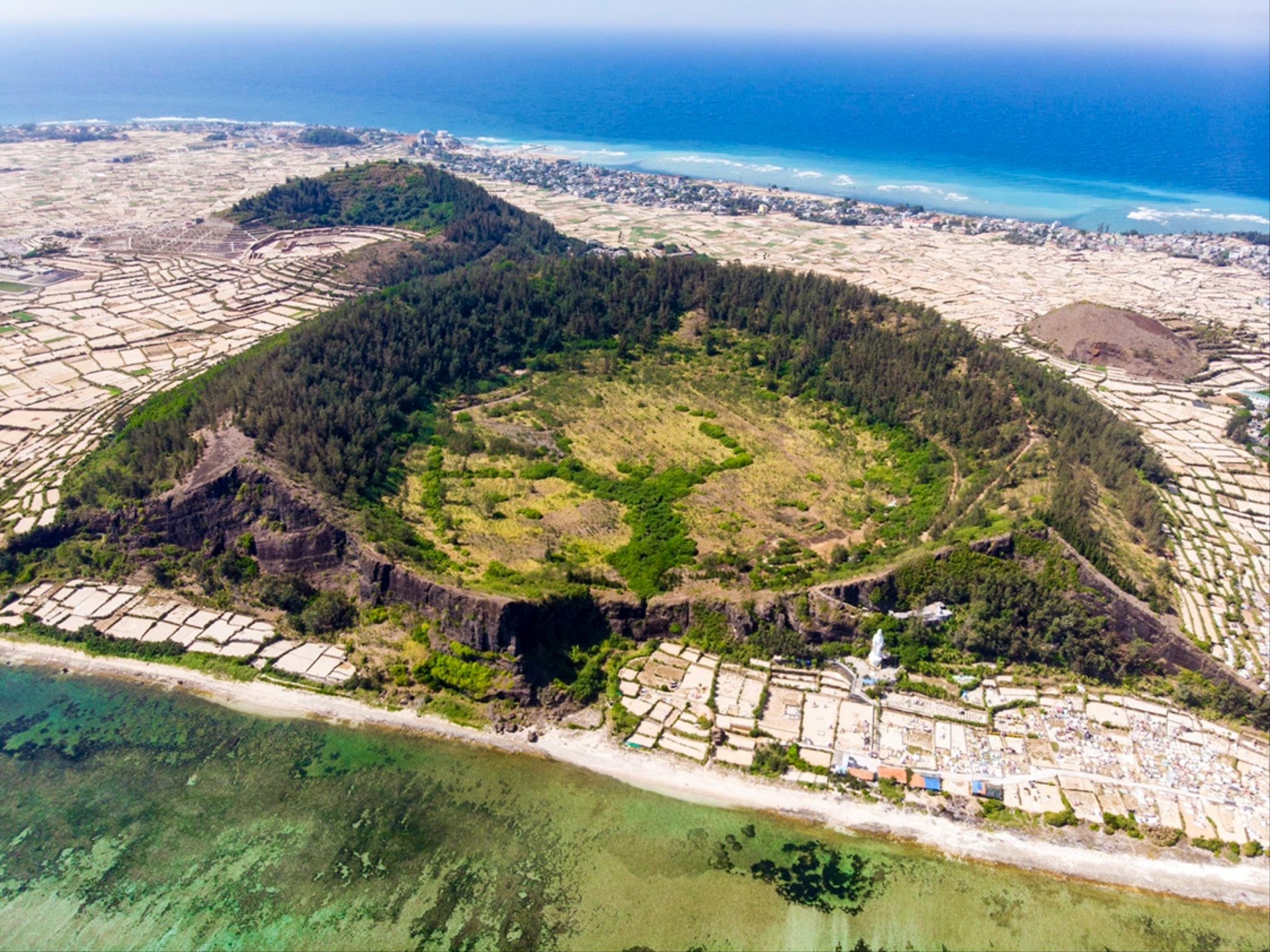
Drone Photography in Ly Son Town is a guided aerial photography session over the volcanic island of Ly Son, located off the central coast of Vietnam. Participants launch drones from designated spots to capture the island's garlic fields, crater lakes, and cliff-lined coastline. The activity provides a structured route to the most photogenic viewpoints, with a local pilot assisting with flight permissions and safe take-off zones.
What to expect
- A 90-minute session includes a pre-flight briefing, a licensed drone pilot, and a pre-approved flight path over the To Vo Gate and Hang Cau volcanic arches.
- You will receive a digital map of 5 marked launch points, each timed to match the morning or late-afternoon light for shadow contrast on the garlic terraces.
- The package covers one battery swap per location, a spare set of propellers, and a micro-SD card with 32GB of raw footage from your flight.
- Suitable for drone pilots with at least 10 hours of flight experience; beginners can request a hands-on tutorial with a trainer drone before the main session.
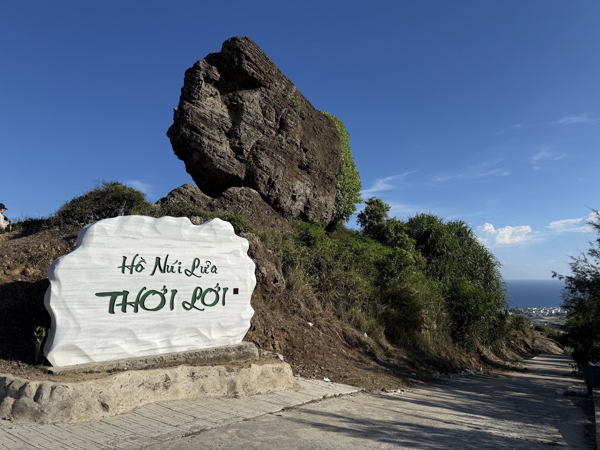
- You will capture the island's twin crater lakes (Lac and Gieng Tien) from a height of 120 meters, with the blue water contrasting against black basalt rock.
- The activity ends with a 10-minute on-site review of your footage, where the pilot points out the best frames for post-editing.
Gallery
Rating
97 reviews
You Might Also Like
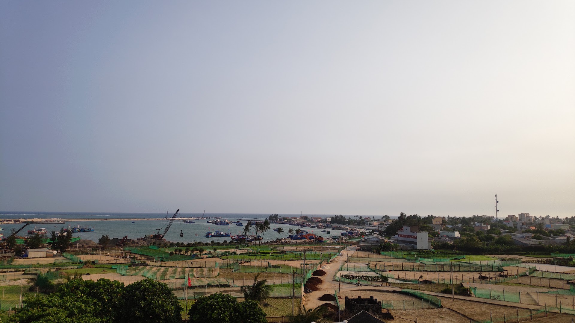
Đỉnh núi Giếng Tiền
Ly Son, Quang Ngai, Vietnam
Is this your business?
This page currently features Đỉnh núi Giếng Tiền. Business listings are managed in the IslandSpots app — download it to take control of your listing.
Manage in the App